
Floods as war weapons
Under Embargo!
This item is under embargo until 9 June 2015 14:00 CET/CEST.
Please do not distribute this link or report on this story before the embargo lifts.
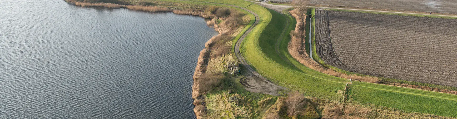
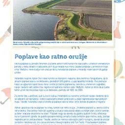
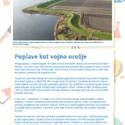
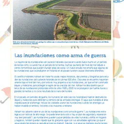
Most floods are natural events that can happen when it rains a lot in a short period of time, or when there’s a storm surge (rising sea water due to stormy winds that can flood coastal areas). But a new study shows that some past floods in the Netherlands had entirely different causes.
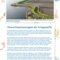
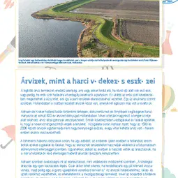
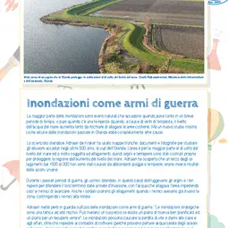
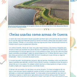
Dutch scientist Adriaan de Kraker has been using historical maps, documents and photographs to study floods that happened in the past 500 years in southwestern Netherlands. The area is mostly below sea level and is very prone to floods, so dikes and seawalls have been built to protect the region from rising sea water. Adriaan discovered that a third of the floods from the years 1500 to 2000 were not caused by heavy rainfall or storm surges – they were a result of human action.
During periods of war in the past, humans (the Dutch, in this case) would destroy the dikes and seawalls to defend the territory from invading armies, with the water that flooded into the area preventing enemies from advancing. Soldiers also used floods when enemies had already invaded the region, with the water forcing the invaders out.
Adriaan warns against using floods as war weapons: “Strategic flooding is a highly risky tactic. It can only be successful if there’s a well-thought-out backup plan and a plan for fast repairs.” Floods can result in loss of life and damage homes and businesses and stop farmers being able to produce crops (because they can bring oceanic salty water into land, which is harmful to plants). Further, when the water remains inland for a long time, it can change the landscape through erosion and deposition (see Fun Facts). Studying past floods can help us better understand how they’ve shaped the landscape over time.
Find out more
How does flowing water shape the landscape?
Flood water or water in rivers and streams can change the Earth’s surface. Over long periods of time, the flowing water breaks down and removes sediment (small rocks and soil) from the ground, through a process called erosion. This results in channels and creeks that get deeper and wider as water flows by and removes sediment over time.
The sediment that is removed from one place is then transported elsewhere by the flowing water. As the water slows down, when it reaches flatter land for example, it starts dropping the sediment that it’s carrying: first the larger bits of rocks and then the small particles of soil. This process is called deposition.
Both erosion and deposition shape the landscape by moving sediment around and as such changing the size and shape of landforms.
To find out more about these processes, we’d recommend doing the classroom activity (ask your parents or a teacher to help you) available at the Teachers Pay Teachers website.
Print version
This is a kids' version of the EGU article: 'Floods as war weapons – Humans caused a third of floods in past 500 years in SW Netherlands'. It was written by Bárbara Ferreira (EGU Media and Communications Manager), reviewed for scientific content by Lucy Clarke (Lecturer, University of Glouchestershire, UK) and Anne Jefferson (Assistant Professor, Kent State University, US), and for educational content by Florence Bretaudeau (Teacher, Ensemble Scolaire Sainte Marie Bastide, Bordeaux, France).
Translations
All English-language Planet Press releases are carefully edited, reviewed and proofed, by scientists, educators and EGU staff. Please note that once translated, Planet Press releases receive no further checks from EGU staff. For this reason, we cannot guarantee their accuracy, though we trust the quality of our voluntary translators and are grateful for their work.