Challenging discrimination in the geosciences: amplifying unheard voices
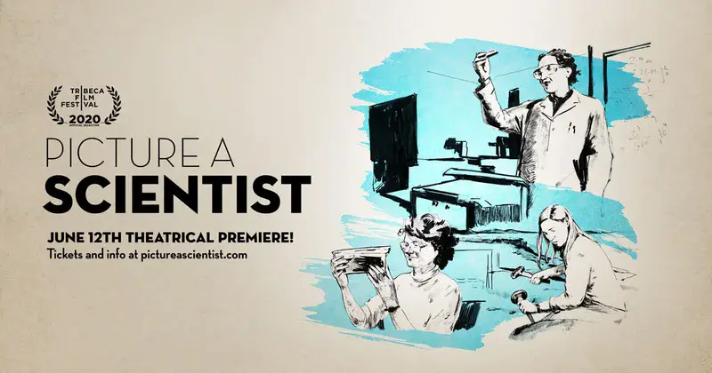
Different forms of systemic discrimination are experienced by underrepresented minorities throughout society, and the geoscience community is not immune. EGU has made a commitment to highlight these challenges and is seeking to improve efforts to make discrimination unacceptable, especially within the geoscience community. EGU will continue to work to raise awareness of discrimination in all its forms. This Great Debate will build on EGU’s stated ambition to promote equality, inclusion, and diversity in geoscience at all levels, and draw influence from how discrimination in the geosciences is experienced by our members from a personal perspective. This panel discussion, which builds on the ‘Picture A Scientist’ screening available to all vEGU21 attendees through 9:00 CEST on Tues. 27 April, aims to raise awareness of these issues and to try to understand what concrete actions EGU and other scientific societies can take to effect real change for everyone affected by discrimination.
GDB1: 15:00–16:30
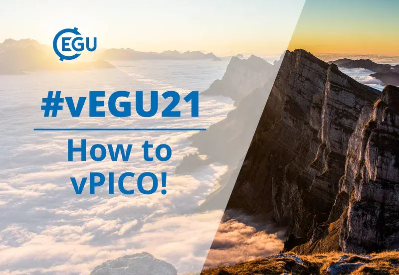
How to vPICO!
This 4-minute video walks you through how the vPICO scientific sessions will work during week 2 of vEGU21!
For tech support, please visit one of the Information Desks in the virtual entry hall or on the vPICO floors, or email egu21@copernicus.org directly.
All programme times are CEST/Central European Summer Time.
Tropical ecosystems – biomes of global significance in transition
Tropical ecosystems are biomes of global significance due to their large biodiversity, carbon storage capacity, and their role in the hydrological cycle. Historic and recent human activities have resulted in intensive transformation of the tropical ecosystems in the Amazon, Central America, Central Africa, and South East Asia, affects the cycling of nutrients, carbon, water, and energy. Understanding how these ecosystems function, in both their pristine and transformed states, is key to understanding how they will respond to climate change. This session focuses on investigations of the functioning of tropical ecosystems across spatial and temporal scales using remote and in-situ observational, modelling, and theoretical studies, including novel, interdisciplinary approaches and techniques.
BG2: 13:30–15:00
Promoting and supporting equality, diversity, and inclusion in the geosciences
This session will explore reasons for the under-representation of different groups (cultural, national, and gender) by welcoming debate among scientists, decision-makers, and policy analysts in the geosciences. The session will focus on obstacles that contribute to under-representation and on best practices and innovative ideas to remove them. Contributions are solicited on: role models, imbalanced representation, barriers to inclusion and strategies to overcome them, best practices and strategies including mentoring, networks, funding, and other initiatives. This session is co-organised with the European Association of Geochemistry (EAG) and the European Research Council (ERC).
EOS5.1: 11:00–14:15
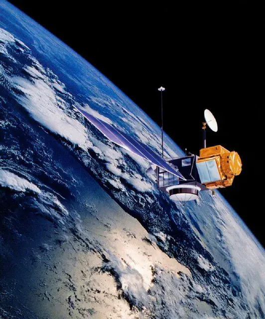
Advances in satellite altimetry & novel applications of satellite and aerial imagery
Since the launch of Topex/Poseidon in 1992, the applications of satellite altimetry have expanded from the open oceans to coastal zones, inland water, land, and sea ice. Today, seven missions are in orbit, providing dense and near-global observations of the Earth system. This unprecedented availability of observables will enable new applications and results but also require novel and adapted methods of data analysis. Session G3.4 will discuss new methodology and applications for satellite altimetry in the fields of geodesy, hydrology, cryosphere, oceanography, and climatology. Session ESSI1.12 will highlight ongoing research and new applications in the field of satellite and aerial time-series imagery. The session focus will be on presenting studies aimed at the development or exploitation of novel satellite time-series processing algorithms and applications to different types of remote sensing data for investigating longtime processes.
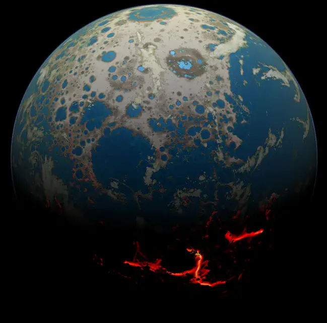
Early Earth: Dynamics, Geology, Chemistry and Life in the Archean Earth
Processes responsible for formation and development of the early Earth (> 2500Ma) are not well understood and strongly debated, reflecting the poorly preserved, altered, and incomplete nature of the geological record from this time. This session will address new approaches and models for the development of Earth’s early crust and mantle and their interactions that draw on the study of the preserved rock archive as well as geodynamic models of crustal and mantle dynamics.
GD1.4: 11:00–12:30
Role of hydrology in policy, society, and interdisciplinary collaborations: across disciplines and beyond scientists
Liaising with stakeholders, policymakers, and society is becoming increasingly important for academics to turn research into impactful action, as well as to improve research by allowing societal participation in terms of co-producing knowledge and policy. In hydrological sciences, this is needed when implementing innovative solutions in areas such as river basin management, water allocation, impact-based hydrological forecasting, flood protection, drought risk management, climate change mitigation, ecohydrology, and sustainable environmental solutions, among others. This session will focus on the science-policy interface in hydrology, interdisciplinary collaborations, and hydrology as practiced within society.
HS1.2.1: 13:30–15:00
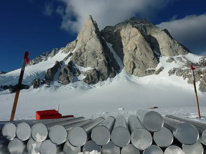
The state-of-the-art in ice coring sciences (StatICS)
Since the first deep ice-core drilling at Camp Century, Greenland, half a century ago, we have seen extensive innovation in ice-sample extraction, analysis, and interpretation, including the analysis of isotopes, trace gases and impurities, ice structure, and DNA, among others. Several projects (e.g., Beyond EPICA Oldest Ice) plan to retrieve ice as old as 1.5 million years, and the analysis and interpretation of this ice will bring new challenges, including the potential for in situ processes to impact the climatic signals. Other projects (e.g., the ICE MEMORY initiative) aim to preserve environmental and climate information from glaciers threatened by climate change. This session will focus on drilling and processing, dating, analytical techniques, remote and autonomous methods of surveying ice stratigraphy, related modelling research, and results and interpretations of ice-core records from polar ice sheets and mid- and low-latitude glaciers.
CL1.7: 13:30–17:00
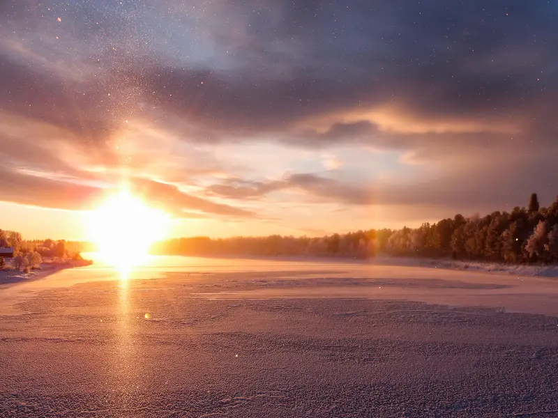
EGU Photo Competition
We received many impressive entries for this year’s competition! You can find the ten finalists, and vote online for the winners, by Thursday 29 Apr at 18:00 CEST. Winners will be announced on Friday 30 April on the EGU blog geolog.egu.eu and in the last issue of EGU Today.