
Subdivision on Remote sensing & data assimilation
Chair: Rafael Pimentel
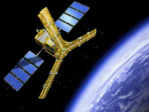 Remotely sensed data can support the monitoring of a wide range of components of the water cycle from local to global scale. Applications include water in the upper soil, at the surface, within the biosphere and atmosphere as well as capturing processes and interactions at the soil-atmosphere interface. Adequate methods are needed in order to derive relevant parameters and assimilation techniques for their utilization within models for better understanding of regional and global impacts of climate change and anthropogenic pressure.
Sessions organized by the subdivision on remote sensing and data assimilation cover a wide range of topics in hydrology but with a special focus on measurements from space and airborne platforms. Sessions address certain methods, sensor types, parameters or have a regional focus.
Topics of interest include:
- Development of new algorithms for the retrieval of relevant parameters
- Assessment and refinement of existing methods
- Exploitation of data from new satellite missions or considerations regarding new mission concepts
- Assimilation of remotely sensed data for specifically hydrological modelling at catchment scale
- All aspects of combining remotely sensing and in situ data for the identification of patterns and dynamics of hydrological processes
- Challenges for operational applications
- Understanding of climate change impacts on the water cycle and hydrological extremes with remotely sensed data