President: Roelof Rietbroek
(Emailg@egu.eu)
Deputy President: Anna Klos
(Email)
ECS Representative: Marius Schlaak
(Emailecs-g@egu.eu)
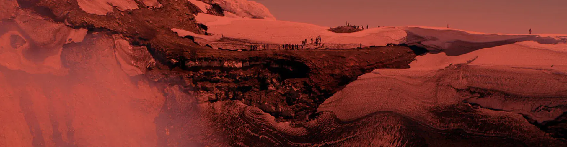
Traditionally geodesy is the science of the measurement and the mapping of the Earth’s surface. Since the surface is mainly shaped by the Earth’s gravity field the classical definition includes the Earth’s gravitational potential. Observing the Earth's figure, the orientation and rotation as well as the gravity field, geodesy today provides spatial and temporal patterns of geophysical processes within the Earth system such as sea-level rise, tides, melting of continental ice masses, changes in global water circulation and in the atmosphere or deformations of the solid Earth. Consequently, the Geodesy Division covers activities on the whole spectrum of modern geodetic Earth system modelling from the measurement systems to the investigation of geophysical processes.
Latest posts from the G blog
EGU Campfire Geodesy – Share Your Research – 20th Edition
We are excited to announce the 20th edition of Geodesy Campfire – Share Your Research in July. The Geodesy EGU Campfire Events “Share Your Research” give (early career) researchers the chance to talk about their work. We have two exciting talks by our guest speakers, Pierre Sakic and Iwona Kudłacik. Below, you can find the details of the topics awaiting us. We will have time to network after the presentations. Please join us on Zoom on 16th July 2026 from …
Read more
From Quasars to Coordinates: How VLBI Measures Earth’s Shape and Motion
Imagine determining the position of a point on Earth with millimeter precision using radio signals from celestial objects billions of light-years away. This may sound like science fiction, but it is exactly what Very Long Baseline Interferometry (VLBI) allows scientists to do. What is VLBI? Long before satellites and digital maps, people looked to the sky and used celestial objects—most commonly the Sun during the day and selected stars at night—along with simple instruments to determine their position on Earth. …
Read more
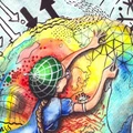
Geodesy Cartoons – A Creative Tool for Outreach and Education
Geodesy is fundamental to understanding our dynamic planet. From monitoring sea-level rise and glacier melt to maintaining precise terrestrial reference frames for GNSS and Earth observation, geodesy provides the scientific backbone for many disciplines represented within the EGU and beyond. Despite its importance, geodesy often remains invisible outside the scientific community. Even within geosciences, many people use geodetic products daily without fully realizing the complex infrastructure and science behind them. To help make geodesy more visible and accessible, the International …
Read more

Listening to reflections: What GNSS signals can tell us about a changing environment
Global Navigation Satellite Systems (GNSS) are best known for positioning, navigation, and monitoring Earth surface motions with high precision (see two of our previous posts on GNSS here and here). But did you know that the same satellite signals can also provide information about snow, soil moisture, or sea level, without installing any additional instruments? This idea lies at the heart of GNSS Interferometric Reflectometry (GNSS-IR). What may initially sound like a specialised remote sensing technique is, in fact, a …
Read more
Recent awardees
- 2026
- Vening Meinesz Medal
The 2026 Vening Meinesz Medal is awarded to
Frank Flechtner for innovative work in gravity field determination and exceptional contributions to the realisation of pivotal satellite gravity missions.
Read more

- 2026
- Division Outstanding Early Career Scientist Award
The 2026 Division Outstanding Early Career Scientist Award is awarded to
Eva Boergens for outstanding work on addressing contemporary hydrological challenges using satellite geodesy.
Read more
- 2025
- Vening Meinesz Medal
The 2025 Vening Meinesz Medal is awarded to
René Forsberg for significant and impactful advancements in geodesy, geophysics, and cryosphere research, and for pioneering work, particularly in gravity field modelling and geoid determination.
Read more
- 2025
- Division Outstanding Early Career Scientist Award
The 2025 Division Outstanding Early Career Scientist Award is awarded to
Matthias Schartner for commendable efforts to modernize one of the fundamental pillars of geodesy – Very Long Baseline Interferometry (VLBI).
Read more

- 2025
- Outstanding Student and PhD candidate Presentation (OSPP) Award
The 2025 Outstanding Student and PhD candidate Presentation (OSPP) Award is awarded to
Marcel Iten Ionospheric data fusion with GNSS, GNSS-RO and satellite altimetry based on machine learning
Read more
Current issue of the EGU newsletter
In our June issue, it's Pride Month and we dive into new discoveries for estuarine mixing and hydrological process modelling. A guide to accessing support for EU-based researchers is available on our YouTube channel and don't miss your chance to join our free EGU peer review training!
All this and much more, in this month's Loupe!
Read more