

Satellite-based smoke maps (NOAA)

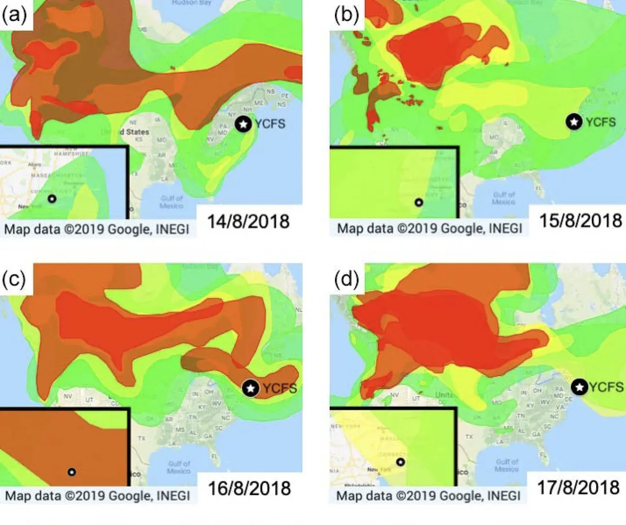
Satellite-based smoke maps (NOAA). Colors indicate the intensity of the smoke plume, with red being the most dense and green the least dense. Insets provide a magnified regional view.
Credit: Rogers et al., Atmos. Chem. Phys., 2019
Related EGU articles
Download
- Original image (345.6 KB, 1428.0x1198.0 px)
- Preview image (87.4 KB, 1280x1074 px, JPEG format)