
EGU announces first higher education teaching grant recipients
8 July 2020
The European Geosciences Union (EGU) is pleased to announce the first recipients of its new Higher Education teaching grant programme, whose purpose is to enable the preparation of teaching resources that will be freely available to everyone who teaches university-level geoscience. EGU established this programme after a recent survey of university educators indicated there was a strong demand for geoscience teaching resources.
The Union is awarding a total 14 grants, more than was originally intended, in the hope that the resources produced will be helpful to the university teaching community in its response to the major educational challenges posed by the coronavirus pandemic. The recipients represent 16 countries on 5 continents. Brief summaries of the 2020 awards are provided below, and more detailed descriptions will be announced on EGU social media channels as the projects progress.
- Ozone measurement practice in the laboratory using Schönbein’s method. This project at the Universidade de Vigo, Spain will produce a teaching package allowing students to measure atmospheric ozone using an affordable classical method that requires minimal consumables. In addition to documentation and tables, the project will produce a video about this laboratory activity, as well as comparisons between different methods of measuring ozone.
- Advances in the global mapping of soil carbon sequestration potential and links with drought conditions. This grant at the China Agricultural University, China will focus on global modelling of soil carbonate sequestration and links mechanistic with more data-driven approaches to soil carbon and water interactions. Teaching materials produced will cover a range of modelling, analytical and sensing techniques.
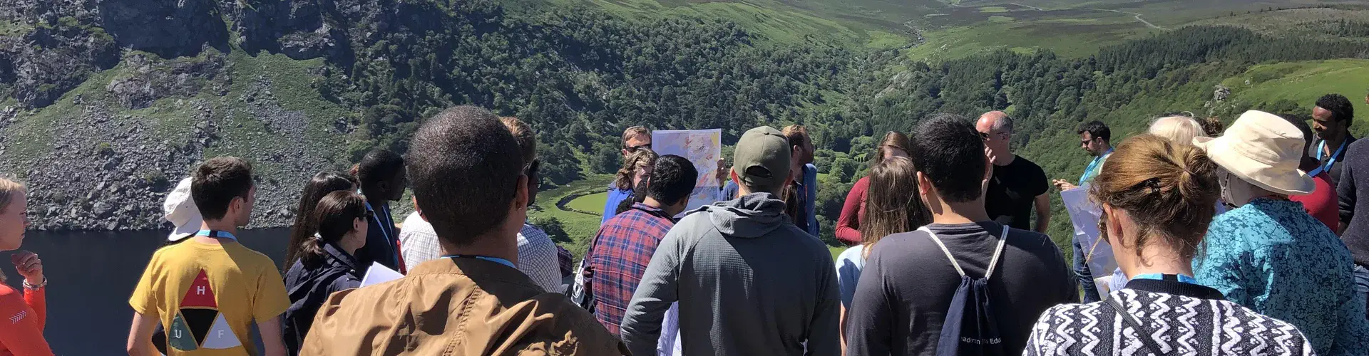
- The Great Irish (Virtual) Glacial Tiki Tour. This teaching package from the National University of Ireland in Galway, Ireland will prepare a virtual tour of glacial geomorphological features and the impact of glaciers in Ireland. The teaching package will deliver 360° panoramas, videos, a written description for each site and a reading list of scientific literature.
- Virtual geology of Lviv city area. This teaching package from Lviv Polytechnic National University, Ukraine, is for a course that will allow Earth Science students to create virtual geological outcrops and 3D models from assembled observations and data. The products will be used to visualise the underlying geological structure and compare field results with those generated from laboratory modelling. Digital versions of course materials will be produced.
- River flood hazard modelling and management. This project at the Universidade da Coruña, Spain uses freely available software to investigate estimation of design flood discharges, map inundation hazards and define strategies to manage flood risks. Real-world data will be provided, and it will be possible to substitute local data from other rivers into the practical sessions.
- Observing the water in the critical zone on a budget. This project at the Federal University of Santa Catarina, Brazil, will provide four modules on how to observe and quantify water in the critical zone (from top of the forest canopy to bedrock) using handcrafted equipment. Course documentation for each module will be augmented by a short video.
- Groundwater modelling for newbies. This project at Ruhr-University Bochum, Germany uses a blended learning approach to groundwater modelling and introduces students to the underlying mathematical and numerical basics, the application of freely available software to groundwater modelling, and practical exercises. The project will produce video-lectures and learning materials, screencasts, and real-world examples of increasing complexity.
- INTEGRATE (Integrated Teaching of Atmospheric Science, Technical/Computer Skills and Empirical Methods). This teaching package from the University of Tübingen, Germany covers the theory and hands-on approach of collecting atmospheric data and working with readily available climatological records on real problems using modern empirical methods. Resources produced will include slides and notes, a repository with instructions and materials for practical and projects, and short videos to assist instructors deliver the course.
- Open source tools for assessing, mapping and monitoring natural resources for sustainable water and food security in drylands of Africa. This grant awarded to the Technical University of Kenya, Kenya will introduce students to modern, readily available and open-source tools for assessing, mapping and monitoring natural resources with the aim of improving water and food security. Materials produced will include tools for mobile data collection, GIS and hydrological modelling, spatial analysis and image processing, and analysis of Earth observation data.
- Using smartphone technology in teaching geosciences. This project at the University of Michigan, USA will focus on the use of a variety of sensors built into smartphones in the teaching of geophysics (e.g., seismology, gravity, geodesy, pressure, etc.). Resources produced will include laboratory manuals, videos, and supplementary materials for use by instructors.
- Gender LIMNOEDU – Meet the women in limnology: developing teaching resources for university. Coordinated at University of Murcia, Spain on behalf of 30 applicants from 8 countries, this grant will produce a series of online and ready-to-use resources to increase the visibility of women in limnology courses and related subjects (e.g., ecology, geoscience history) and that will be made available on a website in a format that is easy to incorporate into higher education geoscience courses. The work will also generate a self-evaluation form to raise awareness of gender bias in geoscience courses.
- A virtual field methods course: Measuring greenhouse gas emissions from tropical peatlands. This ‘virtual fieldtrip’ teaching package prepared at the London School of Economics, UK will include 360° video files and YouTube links. Datasets will be reproduced in an education-friendly format, and worksheets, including task instructions, reading lists, and space to answer questions, will be produced.
- 3D printing of mineralogical crystals models. In these laboratory activities proposed by North Carolina State University, USA, students will use freely available CAD software to design and print their own 3D crystal models and will use these individually produced models in a series of class activities that will enhance 3D visualisation capabilities in students. 3D models will be made freely available online, along with activity tutorials.
- Computational Statistics for Data Analytics. This project at National Taiwan University, Taiwan, will develop a course to enhance the ability of students to explore unknown geo-datasets, based on a series of real-world case studies from freely available data sources (e.g., ESA, NASA, USGS). The project will develop teaching materials and a website template that can be used to develop similar courses.
Contact
Gordon Curry
EGU Education Committee Member
Emailuni-education@egu.eu
Chris King
EGU Education Committee Chair
Emaileducation@egu.eu