
Remote Sensing Applications
The EGU Division on Geosciences Instrumentation and Data presents a two-part discussion how scientists can best use remote sensing. The webinar will feature two remote sensing specialists: Dr Will Maslanka, who will speak on discerning changes in soil mositure for flood management applications, and Dr Betsabe De la Barreda-Bautista, who will discuss using remote sensing to identify the relationship between permafrost thaw and subsidence.
Speakers:
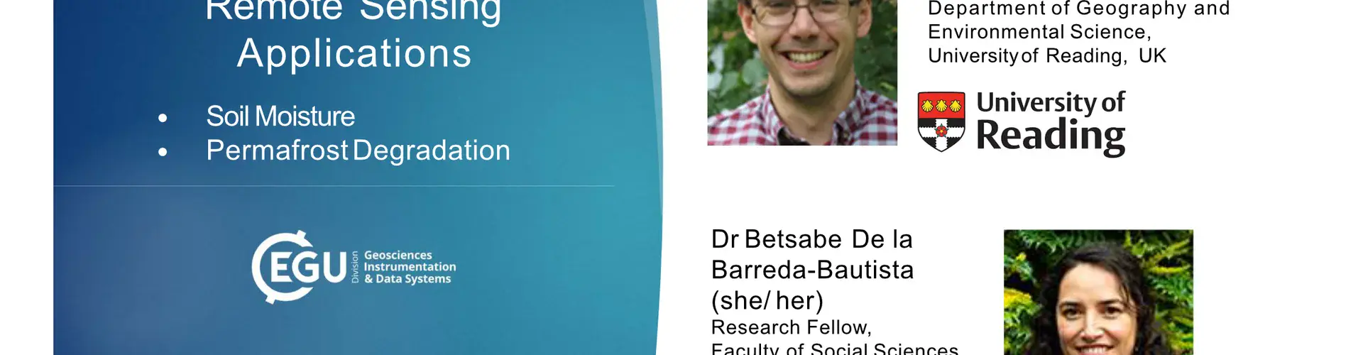
Dr Will Maslanka
Title: Relative Surface Soil Moisture across the Thames Valley from Sentinel-1, from Satellite data to verification
Summary: Starting from extraction of Sentinel-1 data, this presentation will cover the steps taken to calculate and verify relative surface soil moisture across the Thames Valley for Natural Flood Management research.
Dr Betsabe De la Barreda-BautistaTitle: Mapping permafrost thaw in Abisko, Sweden with EO data
Summary: The presentation focuses on how to determine subsidence rates linked to permafrost thaw in sub-Arctic peatlands in Sweden using EO data.
Recorded session
Remote Sensing Applications
Need help?
If you have any questions about the webinar "Remote Sensing Applications", please contact us via webinars@egu.eu.
- Webinar
- Remote Sensing Applications
- Start time
- Thu, 20 Oct 2022 11:00 CEST
- Contact
- webinars@egu.eu